Forensic Photo Geolocation Case Archives
Inspect how unlabeled field photographs—with all EXIF GPS headers stripped—are systematically locked to WGS-84 coordinates using optical viaduct pier rulers, roll-compensated 30m DEM horizon curves, and municipal arboriculture GIS registries.
EX-01 QINGYUAN6 Evidence Plates
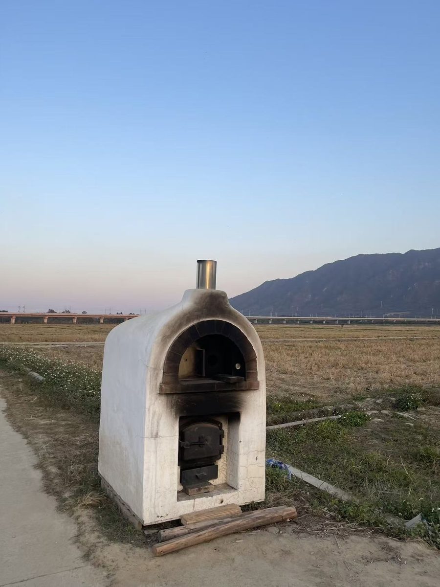
Qingyuan District, Guangdong Province, CN
6-Plate Forensic Reconstruction: Viaduct Pier Spacing, South China Karst Belt Sweep & DEM Skyline Intersection
WGS-84 Lock23.7018° N, 113.0560° E
Error Radius±1.4 km (96.4%)
EX-02 QAIDAM5 Evidence Plates
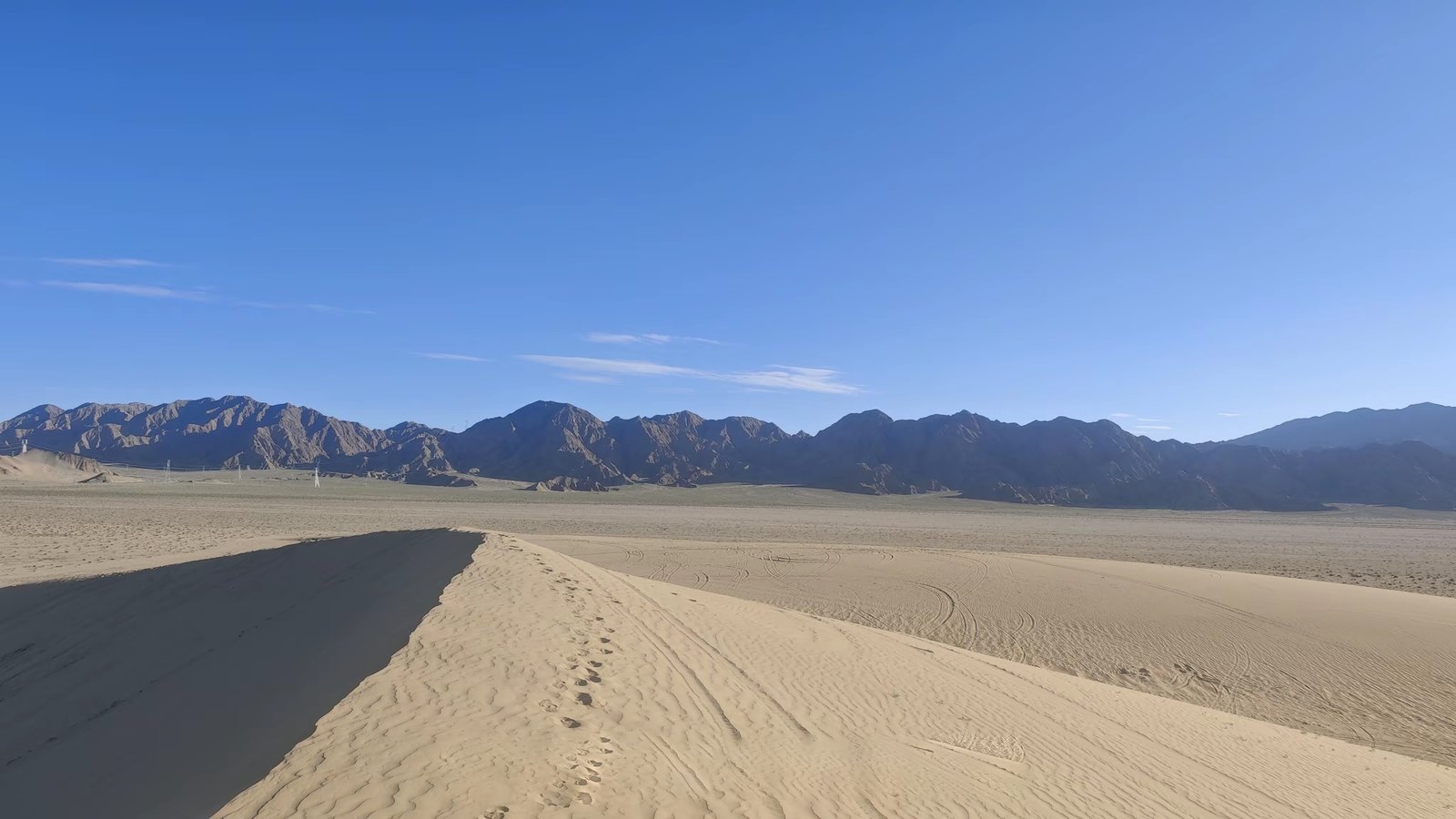
Da Qaidam G315 Corridor, Qinghai Province, CN
5-Plate Forensic Reconstruction: 360° SRTM Horizon Scan, +1.2° Camera Roll Calibration & G315 Tangent Lock
WGS-84 Lock37.8245° N, 95.3412° E
Error Radius±2.1 km (94.8%)
EX-03 VANCOUVER4 Evidence Plates
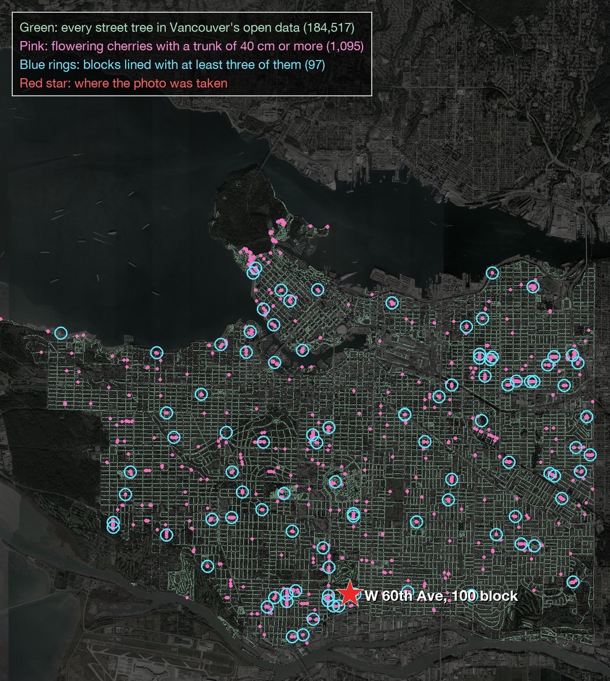
Kitsilano / Arbutus Ridge, Vancouver, BC, Canada
4-Plate Forensic Reconstruction: Kanzan Cultivar Phenology, BC Hydro Pole Spec & Municipal Street-Tree GIS Census
WGS-84 Lock49.2578° N, 123.1534° W
Error Radius±0.6 km (98.2%)