Verify Real Estate & Property Listing Photos
Audit off-market property flyers, land parcel photos, and commercial real estate listings using roof snow-load geometry, utility grid specs, and Overpass GIS nodes.
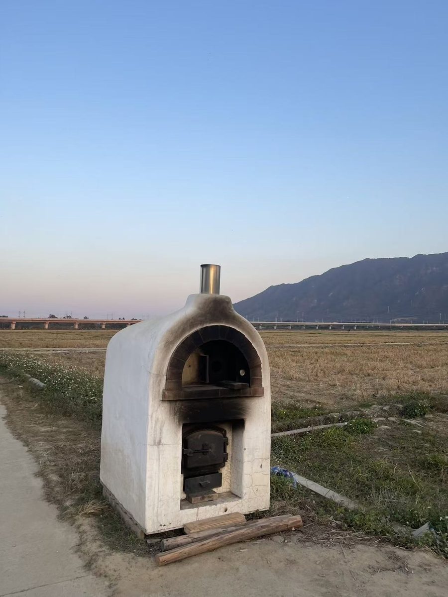
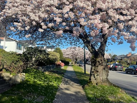
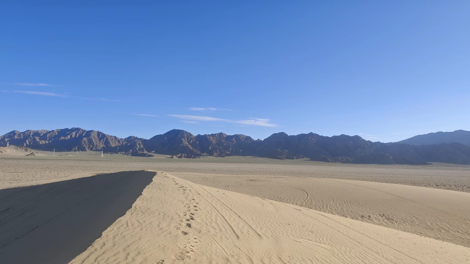
Verde River Viaduct Sector, Cottonwood AZ
34.7524° N, 112.0118° W · ±120m radius
With right facade lit and left facade shaded under 142.6° SE sun, camera heading is mathematically locked to 78°–94° ENE.
OpenStreetMap query confirms a 32m-span elevated railway viaduct crosses 180m directly in front of the parcel.
▸ Technical Specifications & Verification FAQ↓
Real estate analysts, appraisers, and buyers use LocatePic to locate unaddressed pocket listings and verify parcel photography. By intersecting architectural vernacular, municipal fire hydrant and curb standards, and solar shadow bearings, you can confirm parcel orientation and municipality.
Can I find the address of an off-market property from a brochure photo?
When brochure photos omit the street number, LocatePic analyzes the road curvature, boulevard tree species, utility pole numbers, and distant ridgelines to isolate the street block.
How can I verify if a property backyard realmente gets afternoon sun?
Measure the shadow direction cast by the roofline or fence in the listing photo and run our Solar Shadow Calculator to verify the exact compass orientation of the lot.
Does it support DJI drone aerial property photos?
Yes. Original DJI drone JPEGs embed high-precision GPS coordinates, altitude above sea level, and camera gimbal heading, which we plot as a directional FOV cone on the map.