Image Location Finder
Multi-layer optical image location finder. Decomposes any image into architecture, indoor micro-clues, infrastructure, signage OCR, and solar azimuth.


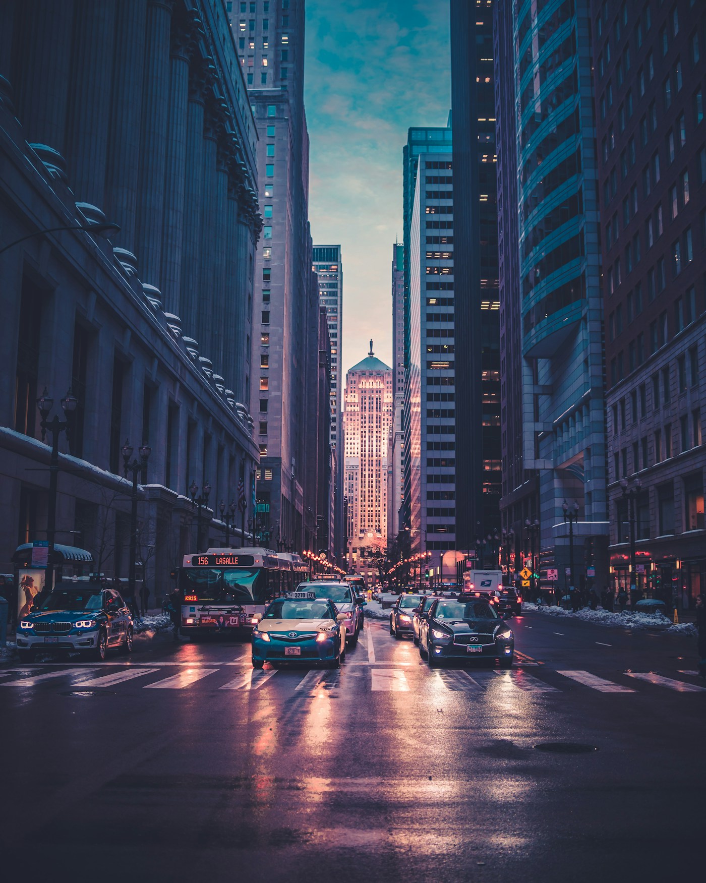
Ocean Drive District, Miami Beach
25.7826° N, 80.1341° W · ±140m radius
Shadow azimuth (248° WSW) and 14.2° solar elevation lock the capture window to 17:22–17:48 EDT on the South Florida coast.
Sabal palmetto crown silhouette and stepped Art Deco cornice narrow the coastline to South Florida.
Low-angle golden reflection across the deck slats matches 25.7° N latitude pre-sunset geometry.
Miami-Dade HVHZ laminated balcony rail profile standard in South Beach coastal properties.
▸ Technical Specifications & Verification FAQ↓
An industrial image location finder does not guess from a single neural black box. LocatePic runs five specialized verification nodes in parallel—EXIF binary inspection, geomorphology, civil engineering standards, botanical distribution, and solar azimuth—to compute a weighted WGS-84 coordinate lock.
How is a multi-node image location finder better than reverse image search?
Reverse image search (like Google Lens) only works if the exact same landmark photo already exists online. A cartographic image location finder analyzes road specs, terrain slopes, and tree species to locate private photos never published on the web.
What coordinate formats does the image location finder output?
Every result outputs WGS-84 Decimal Degrees (DD), Degrees Minutes Seconds (DMS), UTM Grid zone coordinates, and a one-click OpenStreetMap / Google Maps verification pin.
Can I inspect the reasoning behind the location prediction?
Yes. Every detection plots labeled bounding boxes directly on your image and provides a written deduction proof explaining which regional candidates were ruled out.